First Alert Forecast: frigid start Monday; warming trend ahead
MONDAY: Sunshine wins the day with highs in the upper 30s to lower 40s by the afternoon. Skies remain clear tonight with lows dropping off into the cold 20s; though, not as cold as the past few mornings.
TUESDAY: A chilly start gives way to a nice rebound through the course of the day amid another day of bright sunshine. Morning 20s will run up into the upper 40s and lower 50s by the end of the day. Clouds will begin to fill back into the region through the latter part of the day. Clouds continue to thicken overnight with lows in the upper 30s and lower 40s.
EXTENDED FORECAST: Clouds return through mid-week along with chances for showers and storms. Expect a few passing showers Wednesday with afternoon highs in the lower 50s; temperatures will generally rise Wednesday night into Thursday. Rain and storms turn likely through Thursday as highs sneak into the 60s. Behind the front, a brief shot of cooler air Friday with highs in the 40s to near 50; we’ll quickly rebound into the 60s through the weekend and start of Christmas week.
COLOR THE WEATHER: Action News 5 has brought back an old favorite for the kids – the COLOR THE WEATHER program in conjunction with McDonald’s. Each morning during the 6 AM hour, Patrick will show ONE Color the Weather photo and showcase it on the air. You can get the photo to color either at participating Memphis area McDonald’s locations, or you can CLICK HERE and download the picture. Color it and upload it with your name and city to actionnews5.com – then tune in each morning to see if your photo is chosen!
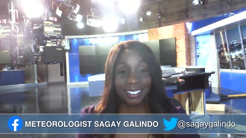
Patrick Ellis
Action News 5 First Alert Meteorologist
Facebook, X, Instagram, BlueSky: @PatrickEllisWx
Click here to sign up for our newsletter!
Click here to report a spelling or grammar error. Please include the headline.
Copyright 2025 WMC. All rights reserved.